File:Michinoeki Tyokaigo.JPG
From Akita Wiki

Size of this preview: 800 × 450 pixels. Other resolutions: 320 × 180 pixels | 640 × 360 pixels | 1,024 × 576 pixels | 1,280 × 720 pixels | 2,560 × 1,440 pixels | 3,648 × 2,052 pixels.
Original file (3,648 × 2,052 pixels, file size: 2.23 MB, MIME type: image/jpeg)
Summary
| Description |
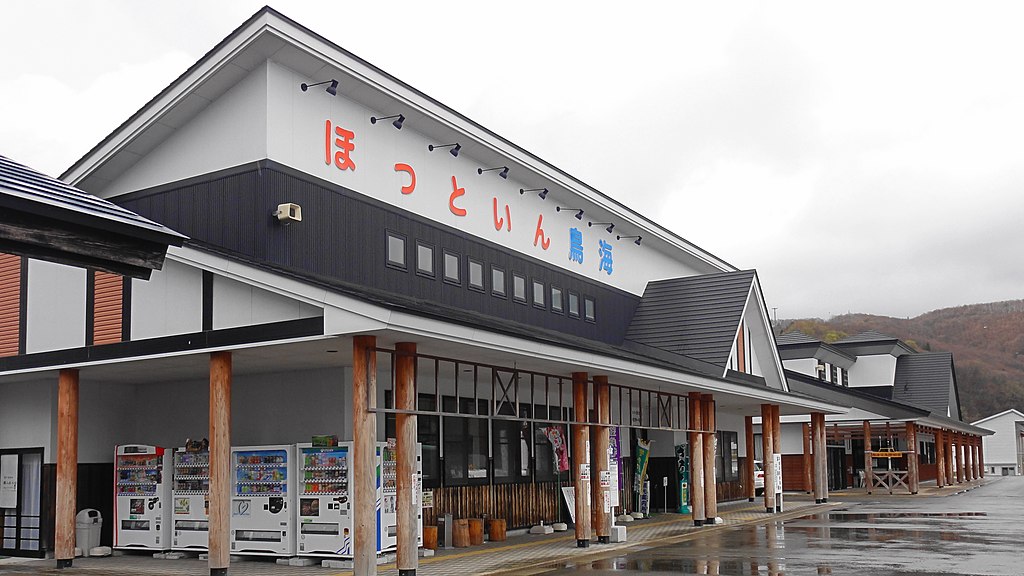
English: Road to station Shimizu no sato・Tyōkaigō,Akita prefecture,Japan
日本語: 道の駅清水の里・鳥海郷、秋田県、日本 |
| Date | |
| Source | Own work |
| Author | アラツク |
| Camera location | | View this and other nearby images on: OpenStreetMap |
|---|
Licensing
I, the copyright holder of this work, hereby publish it under the following licenses:

|
Permission is granted to copy, distribute and/or modify this document under the terms of the GNU Free Documentation License, Version 1.2 or any later version published by the Free Software Foundation; with no Invariant Sections, no Front-Cover Texts, and no Back-Cover Texts. A copy of the license is included in the section entitled GNU Free Documentation License. |
This file is licensed under the Creative Commons Attribution-Share Alike 4.0 International, 3.0 Unported, 2.5 Generic, 2.0 Generic and 1.0 Generic license.
- You are free:
- to share – to copy, distribute and transmit the work
- to remix – to adapt the work
- Under the following conditions:
- attribution – You must give appropriate credit, provide a link to the license, and indicate if changes were made. You may do so in any reasonable manner, but not in any way that suggests the licensor endorses you or your use.
- share alike – If you remix, transform, or build upon the material, you must distribute your contributions under the same or compatible license as the original.
You may select the license of your choice.
File history
Click on a date/time to view the file as it appeared at that time.
| Date/Time | Thumbnail | Dimensions | User | Comment | |
|---|---|---|---|---|---|
| current | 21:13, 23 May 2013 | | 3,648 × 2,052 (2.23 MB) | アラツク | {{Information |Description={{en|1=Road to station Shimizu no sato・Tyōkaigō,Akita prefecture,Japan}} {{ja|1=道の駅清水の里・鳥海郷、秋田県、日本}} |Source={{own}} |Author=アラツク |Date= 2013-05-02 |Permission= |other_versi... |
File usage
The following page uses this file: