File:Michinoeki Tenno 20170708.jpg
From Akita Wiki
Size of this preview: 800 × 600 pixels. Other resolutions: 320 × 240 pixels | 640 × 480 pixels | 1,024 × 768 pixels | 1,280 × 960 pixels | 2,560 × 1,920 pixels | 3,264 × 2,448 pixels.
Original file (3,264 × 2,448 pixels, file size: 3.37 MB, MIME type: image/jpeg)
Summary
| Description |
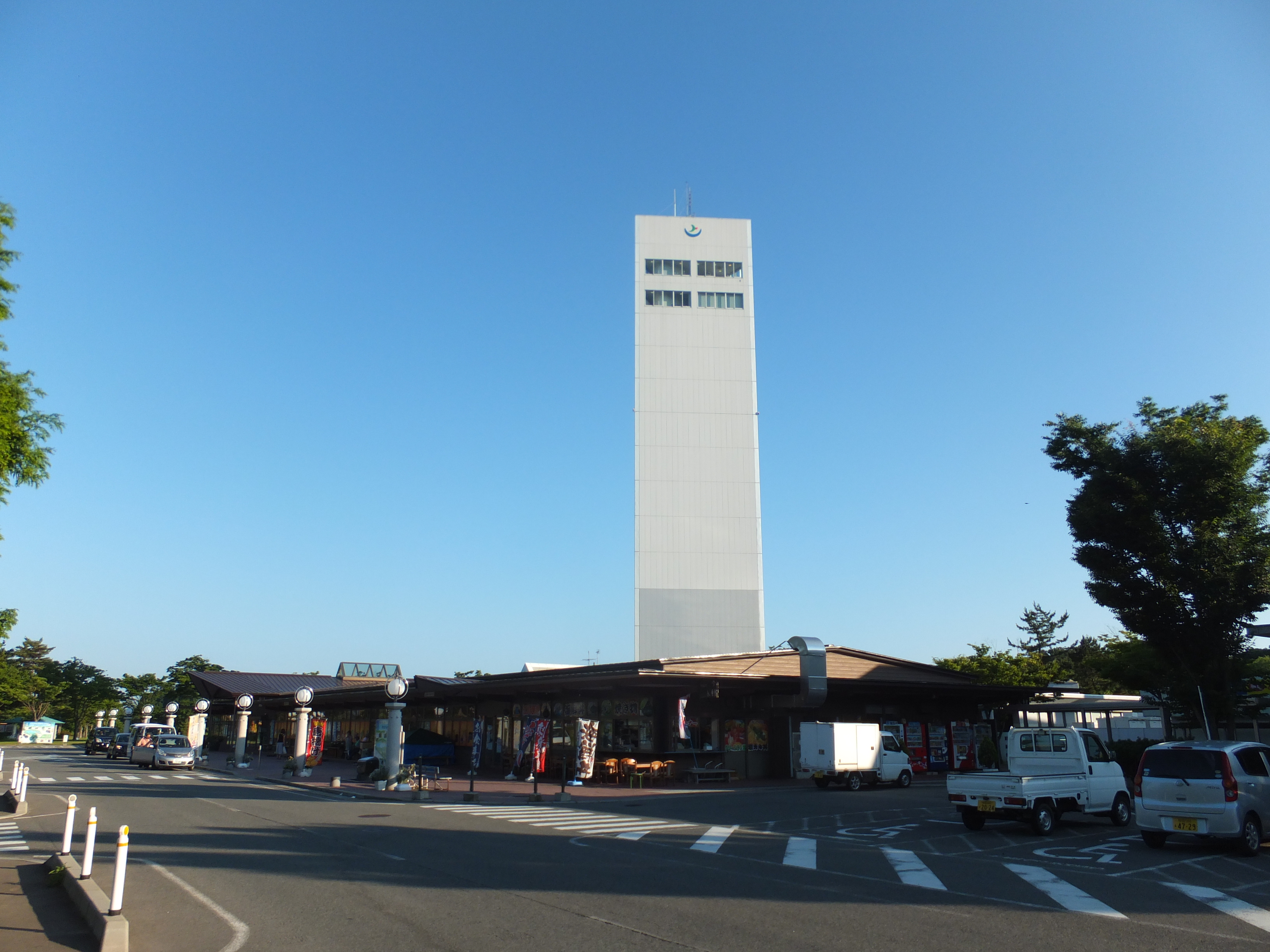
日本語: 道の駅てんのう 天王グリーンランド(秋田県潟上市) |
| Date | |
| Source | Own work |
| Author | 掬茶 |
| Camera location | | View this and other nearby images on: OpenStreetMap |
|---|
Licensing
I, the copyright holder of this work, hereby publish it under the following license:
This file is licensed under the Creative Commons Attribution-Share Alike 4.0 International license.
- You are free:
- to share – to copy, distribute and transmit the work
- to remix – to adapt the work
- Under the following conditions:
- attribution – You must give appropriate credit, provide a link to the license, and indicate if changes were made. You may do so in any reasonable manner, but not in any way that suggests the licensor endorses you or your use.
- share alike – If you remix, transform, or build upon the material, you must distribute your contributions under the same or compatible license as the original.
File history
Click on a date/time to view the file as it appeared at that time.
| Date/Time | Thumbnail | Dimensions | User | Comment | |
|---|---|---|---|---|---|
| current | 00:56, 9 July 2017 | | 3,264 × 2,448 (3.37 MB) | 掬茶 | User created page with UploadWizard |
File usage
The following page uses this file: